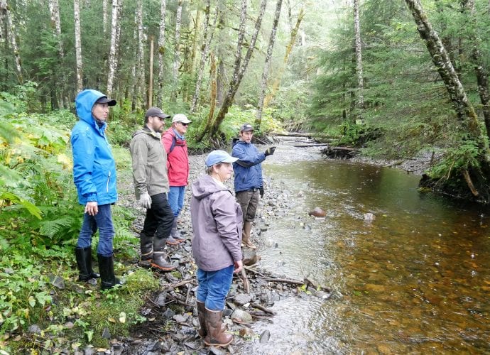
U.S. Forest Service hydrologist, Heath Whitacre, explains restoration possibilities for Ohmer Creek near Petersburg. (Photo by Angela Denning/KFSK)
Ohmer Creek is a popular waterway about 20 miles south of Petersburg by road. Anglers fish for salmon and trout in the creek and there’s a trail nearby through some old growth forest. But further up the creek it’s a different story.
“I was wondering through this flood plain for several years and something was just not right,” said Heath Whitacre, a hydrologist with the U.S. Forest Service in Petersburg.
Whitacre is giving a small group of people a tour of the creek to discover why this part of the forest looks a little different.
“I’m not going to tell you [why],” he said, “and we’ll try to figure it out on the way.”
It’s not too long before rain comes pouring down. If we were under large trees we’d have some protection, but here, the trees are unusually small. Whitacre says the area used to be home to the island’s largest spruce trees but about 20 acres of it was harvested in the early 60s.
“If this were harvested in 1962 how big do you think those spruce would be in 56 years?” he asked. “Bigger, you know ,they’d be this big. So that always bothered me about this site is…why are these trees so small?”
As we ponder the reason for the stunted trees we start walking on an old, overgrown road bed. Whitacre points out some standing water along the sides.
The land and stream start to change. The spread-out flood water becomes more stable, the elevation is a little higher, and there are larger pieces of rock around.
“This is where it kind of shifts character,” Whitacre said. “From this point downstream it really shifts character.”
We continue near the creek, climbing up and down what seem like berms in the forest.
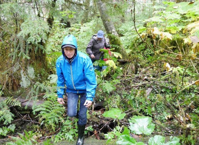
Leila Gharbi climbs up a berm in the forest near Ohmer Creek, a land feature left over by decades-old excavation. (Photo by Angela Denning/KFSK)
“Take a look at the water level right there,” Whitacre said. “That is above the level of this.”
Below the high banks of the creek the forest floor drops in elevation to a soggy flood plain.
“You don’t see this kind of land feature in a normal stream situation,” Whitacre said. “So, it’s always bothered me in this particular flood plain. Why is the elevation so much lower on the flood plain as it is within the channel? Why do we have these dike features right here?”
In the trees, we find some larger boulders and an old fashioned rusted out pick up truck. Both are unusual, unnatural. Clues, Whitacre says, that things have been moved around.
So what was it?
“Mining,” someone suggested.
“That’s a good guess,” Whitacre said. “As a matter of fact, that’s close enough. They mined it for the cobble and the gravel for the roadbed for Mitkof Highway in the 1950s.”
The low soggy areas now were pits back then where gravel was dug up. The replanted trees aren’t growing back strong because they lack proper nutrition. About a meter to three meters of top soil was removed.
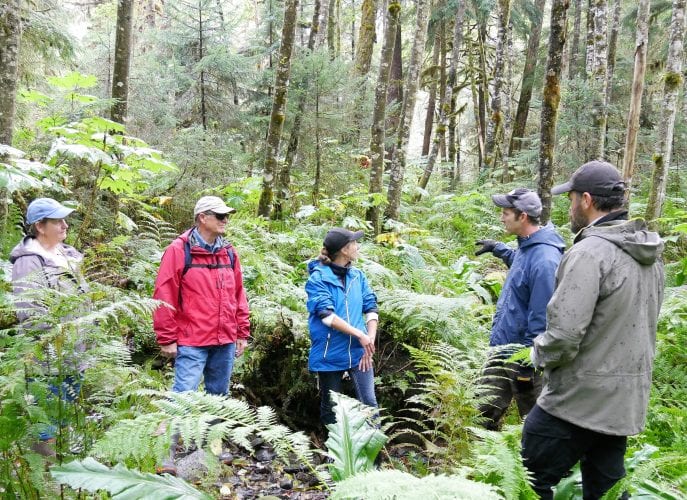
U.S. Forest Service hydrologist, Health Whitacre, describes the unusual features of the Ohmer Creek flood plain near Petersburg. (Photo by Angela Denning/KFSK)
So, the mystery is solved!
Well, not entirely. There’s still the question about what to do about it. How do present day hydrologists make waterways better after humans messed them up years ago?
The options are limited without making things worse. But Whitacre says they do want to provide more structure and soil to area.
“What I’m hoping is that if we have a helicopter in the area that we can have the helicopter drop big logs in kind of perpendicular piles to the flow so at least we’ve roughened the flood plain a little bit,” he said.
The Forest Service also has plans to restore parts of the creek’s channel itself. That can be as simple as dropping large trees along the creek banks and letting nature take its course. But although the idea is simple, it’s not cheap. They plan to do the project in 2020 but that will depend on funding, which could come through a future timber sale.


