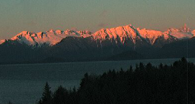
Petersburg started the year nearly snowless, even at high elevations — and that’s rare, according to long-term data records.
Snowpack data is collected at hundreds of sites in Alaska every winter month for the National Resource Conservation Service’s snow survey program, which monitors snow depth and water content measurements to use for environmental forecasting and water management.
There are several snow survey stations in Southeast Alaska — including two on Petersburg’s Mitkof Island, which the U.S. Forest Service Petersburg Ranger District has monitored for nearly half a century.
Staff hike in and measure the snowpack by hand at 550 ft of elevation near Petersburg’s water reservoir, and up 1,650 ft from sea level at Raven’s Ridge.
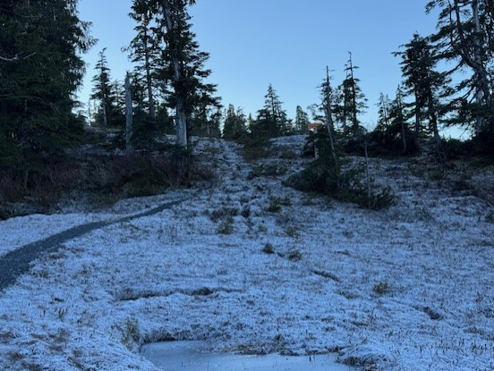
But snow shoes were not necessary to reach the sites over the new year. While thick frost covered the ground, data collectors found no snow to measure — down from over a dozen inches documented at each site in early December.
A lack of snow is rare for the higher site at Raven’s Ridge. The last and possibly only other time zero snow was recorded there in January was back in 2006, according to nearly five decades of data from the consistent snow surveys in Petersburg.
According to the National Weather Service, much of December was drier and warmer than normal for Petersburg, which broke two daily records with temperatures in the 50s. Andy Park, a NWS meteorologist in Juneau, said the lack of snow in Petersburg can be attributed to that abnormal weather.
“We’re missing moisture,” said Park. “We’re dryer than we should be and we’re warmer than we should be.”
Park said central Southeast is seeing snowpack measurements that are well below normal, and most of the region needs more snow.
“A week ago, most of our sites were reporting … below where we should be,” he said on Jan. 6.
Having a healthy snowpack at elevation is important for the runoff it creates in the summer — and not seeing snow “can be concerning” — but Park said there’s still time for the region to catch up: overall oscillations are indicative of a La Niña event for the area, which “usually translates to colder conditions…”
“Then it’s just a question of how much moisture we can get into the Panhandle,” Park said. “I don’t want to sound like a doomsday prophecy … we still have four months to catch up on the snowpack.”


